
The Army Corps Told Us It Was Fine
How federal infrastructure decisions shaped New Orleans neighborhoods and the flood risk that came with them

If you’ve spent any time looking at houses in New Orleans East, Gentilly, or Metairie, you’ve probably noticed a lot of slab foundations, and if you grew up around older homes Uptown or in the Quarter, it might feel wrong.
It is, kind of.
Here’s what happened. For the first 200 years of this city’s existence, builders followed the water. High ground meant safe ground, so development hugged the river and the bayous: Esplanade Ridge, the Treme, the river bend Uptown. You didn’t build in the swamp because you couldn’t drain the swamp.
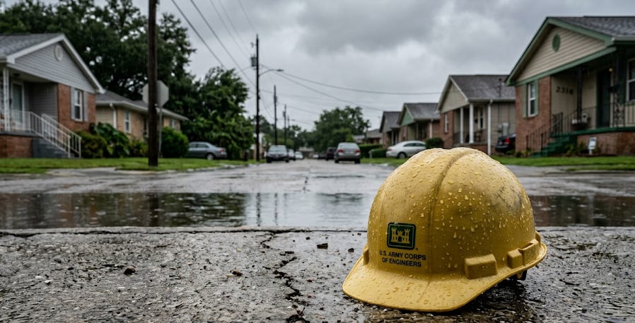
Then the Army Corps of Engineers showed up and said ‘don’t worry, we’ve got you.’
Post-WWI and especially after WWII, the federal government pumped out the cypress swamps, built up the levee system, and essentially told New Orleans it was safe to build outward into low-lying areas. People believed them.
Why wouldn’t you? Its the Army Corp of Engineers!
At the same time, those wars introduced American builders to European construction: concrete slabs, modern materials, efficient builds. Combine that with a GI housing boom, cheap lots in newly “drained” land, and you get Metairie ranch houses on slabs in areas that have no business being built on slabs.
What this means if you’re buying:
A slab foundation in a low-lying neighborhood isn’t automatically a dealbreaker, but it does change your risk profile. No crawl space means moisture problems show up differently. Flood history matters more. Elevation certificates matter more.
Know what you’re buying and why it was built that way.
A good place to start would be the FEMA Flood Map Service Center.
Just punch in an address and check the map legend at the bottom.
Thinking of buying a home and flood zones are keeping you up at night? Lets set up a time to chat and we can work out the right strategy for you.