
Why Your Flood Zone Doesn't Mean What You Think It Does
A Guide for Northshore and New Orleans Buyers

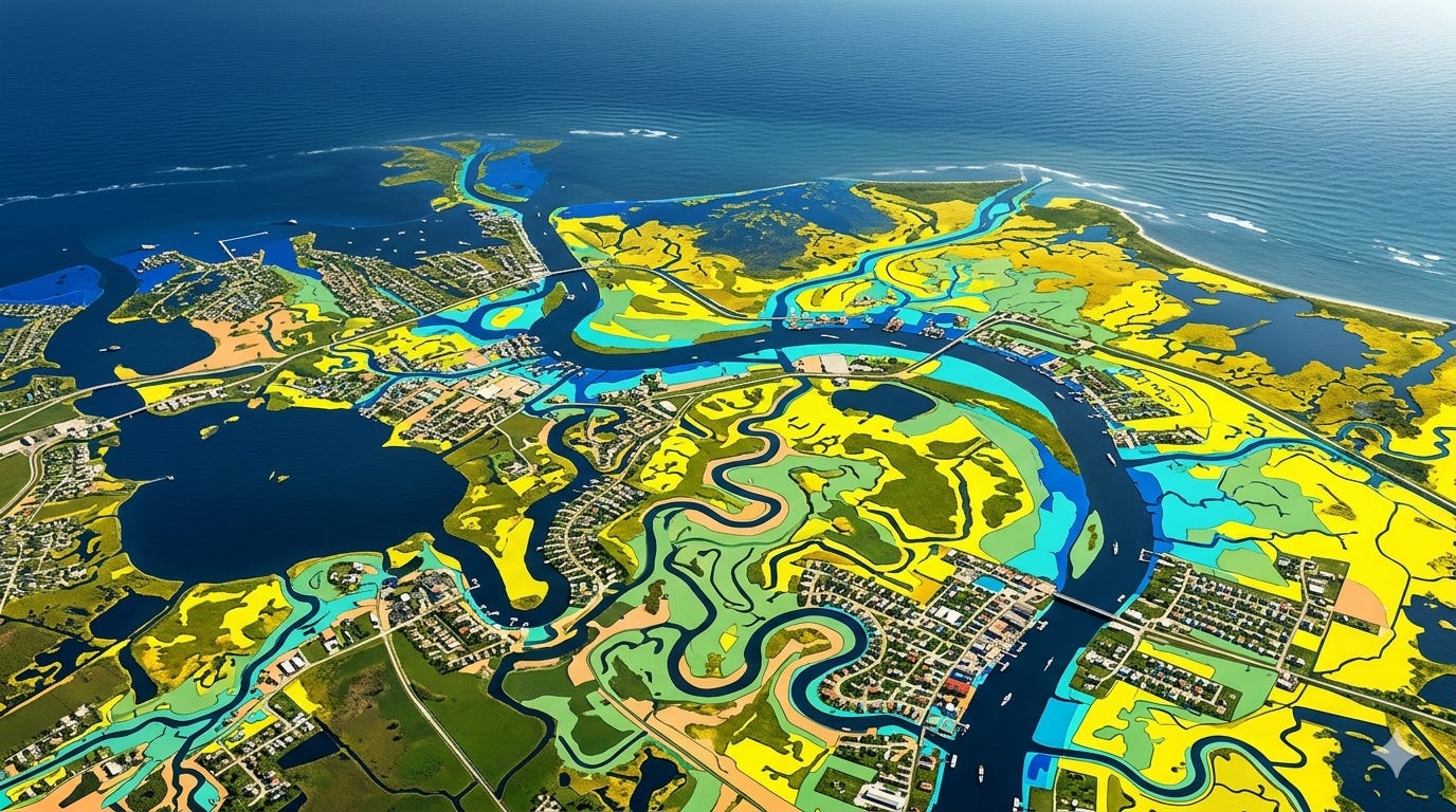
If you’re familiar with New Orleans flood zones, the Northshore looks similar on the surface, mostly X and AE. But St. Tammany has some important differences worth understanding before you buy.
Flood Zones in St. Tammany
Zone X also Zone B and Zone C on older maps): Preferred zone. No mandatory flood insurance if you have a federally backed mortgage. B and C are older FEMA designations largely replaced by X on updated maps. But preferred zone doesn’t mean no risk. About 20% of NFIP claims nationally come from properties in these zones.
Zone AE: High risk. Flood insurance mandatory with a federally backed mortgage. The E means FEMA has done detailed hydraulic studies and established a Base Flood Elevation for the area. This is what you’ll see in most developed parts of St. Tammany.
Zone A (no suffix): Also high risk, mandatory insurance, but less studied. More common in rural areas where drainage runs by gravity rather than engineered systems.
Zone VE: Coastal high hazard. Wave action, not just rising water. On the Northshore you’ll find this roughly 1-4 blocks off Lake Pontchartrain in Mandeville. The V stands for velocity, water doesn’t just rise, it hits.
Zone AH / AO: Shallow flooding zones. AH is ponding, AO is sheet flow on sloping terrain. Less common but worth knowing near low-lying areas.
The map situation in St. Tammany
Unlike Orleans Parish, St. Tammany has multiple rivers and streams running through it. FEMA has been working to update flood maps across the parish for years, and last I checked, much of St. Tammany hadn’t fully signed off on the proposed new maps. This matters because the proposed maps generally expand AE zones, meaning properties currently in X could be reclassified.
Mandeville signed off on updated maps partly to qualify residents for elevation grants, especially along the lakefront where flooding is a recurring reality.
Always check the current effective FIRM for the specific property, not just the neighborhood.
Risk Rating 2.0: the rule change nobody explained
Since October 2021, flood insurance premiums are no longer based primarily on your flood zone. Every property is individually rated based on distance to water, flood frequency, foundation type, first floor elevation, replacement cost, and prior claims history.
What this means practically:
Two houses on the same street in the same zone can have very different premiums
Being in Zone X no longer guarantees a low premium
Louisiana has been hit hard, last I checked, 4 out of 5 Louisiana policyholders saw premiums increase under Risk Rating 2.0
The policy assumption tip most agents don’t know
If you’re buying a home with an existing active NFIP flood policy: assume that policy. Don’t let it lapse!
Existing policyholders move toward their full actuarial rate gradually, capped at 18% per year. The moment a policy lapses it’s gone, a new buyer pays the full risk rate immediately with no glidepath. On some Northshore properties that difference can be thousands of dollars a year.
Ask the seller if there’s an active flood policy. If there is, assume the policy!!
The one thing I tell every buyer
There is no such thing as a “no flood zone.” There are zones where insurance isn’t required. That’s different.
Check any property you’re serious about at the FEMA Flood Map Service Center: https://msc.fema.gov/portal/home